
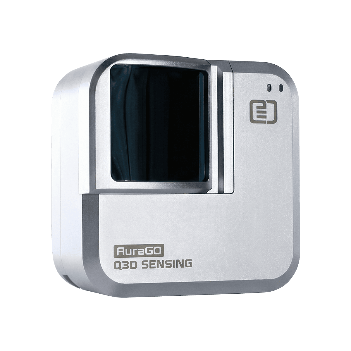
AuraGO™: Mobile 3D Without Compromise
- AuraGO™ delivers long-range, centimeter-level 3D capture in a pocket-sized form, redefining what mobile spatial intelligence can achieve.
- Unlike embedded phone LiDAR built for short-range scans, AuraGO™ unlocks up to 100× greater area coverage, bringing true site-scale capture to mobile workflows.
- Designed from the ground up for mobility, AuraGO™ transforms your smartphone into a professional-grade spatial instrument.
- Mobile convenience. Professional performance. No compromise.
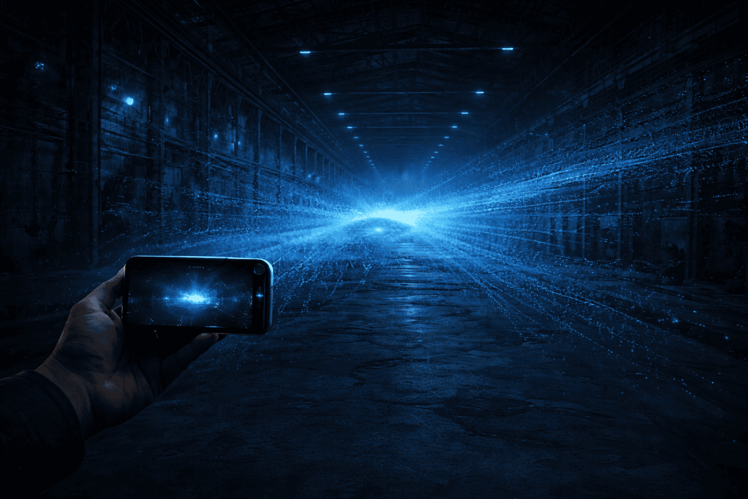
Q3D Scan: Professional Control in Your Pocket
- Q3D Scan brings advanced measurement and geo-referencing capabilities traditionally reserved for high-end terrestrial systems into a mobile workflow.
- Add coded targets. Apply survey control. Enforce real-world constraints.
- Behind the scenes, the system continuously refines and optimizes your scene into a precisely coordinated, cumulative best-fit to reality.
- You stay in control of accuracy without being buried in complexity.
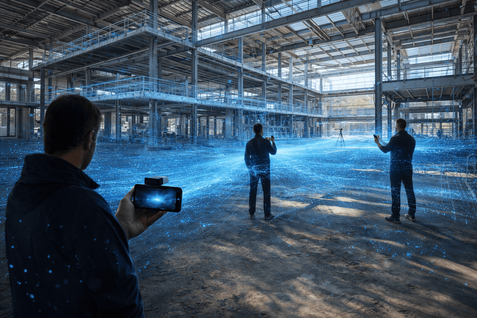
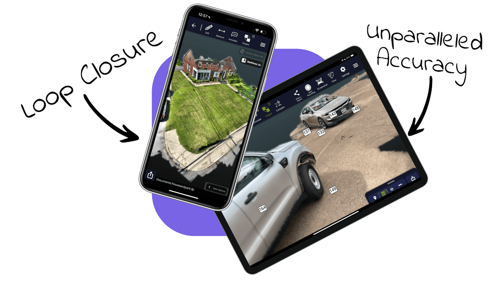
Built for Scale. Ready for Teams.
- AuraGO™ is engineered to handle the majority of daily capture tasks, complementing the bulky and complex professional systems that were not meant to handle rapid workflows efficiently.
- Capture entire floors, long corridors, crash scenes, and outdoor facilities in a single coordinated scene.
- Equip multiple team members. Standardize workflows.
- Turn 3D capture from a bottleneck into infrastructure.
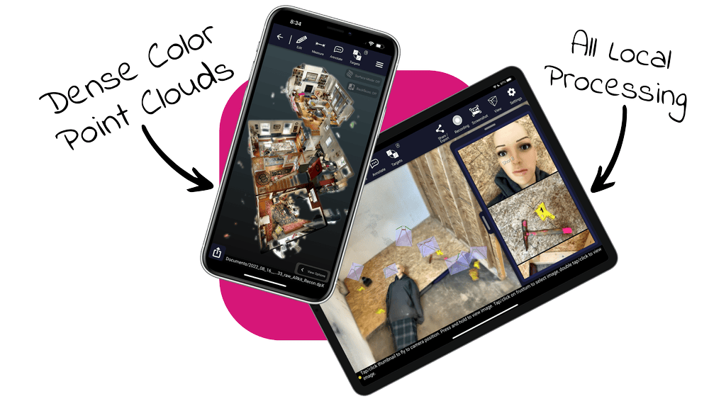
Own Your Data. Deploy Anywhere.
- Q3D Scan processes data locally and securely, keeping you in full control of your spatial assets.
- Export to industry-standard formats for BIM, CAD, digital twin, or analytics workflows.
- Total data security from start to finish, structured, high-fidelity spatial data ready for action.
AuraGO™ + Q3D Scan Solution Features
| 3D Point Clouds | DP E57, LAS, LAZ, RCS / RCP, POD, PTS, PTX, PLY, PTG From Windows only: RCS, POD |
| Compatibility | Q3D Scan PRIME Software (For Scanning and Editing): iPhone and iPad Q3D Scan EDIT Software (Editing, Export, Viewing, no Scanning): PC Stay tuned for Android support |
| 2D orthophotos | TIFF (scaled geoTIFF), PNG, JPEG, PPM, BMP |
| 2D Drawings | DXF |
| Deliverables | Photorealistic , Point Cloud |
| Working Environment | Indoor and Outdoor |
| Data Processing & Optimization | On-Device Processing |
| Annotations and Tagging | In-field |
| Target Recognition | April Tags (Physical) |
| Color Capture | High Definition (HD) |
| Software Editing Tools | 3D Cropping, Filtering and Measurements |
| Automation | Cloud Registration and Optimization |